Author: admin
-
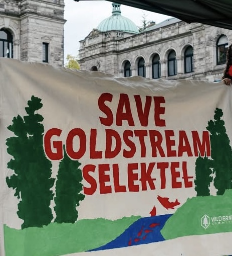
First Nations-led rally at B.C. Legislature opposes $162 million highway expansion threatening Goldstream River – SELE₭TEȽ.
………………………….. Save Selektl Listen to the videos. Join Carl Olsen and friends @ 10:00 am every Tuesday on the side of the highway infront of Goldstream Park! Write a letter to Premier Eby enough is enough. Do not cut down 700 trees to add barrier to highway. Instead change the speed limit here. How about Read more
-
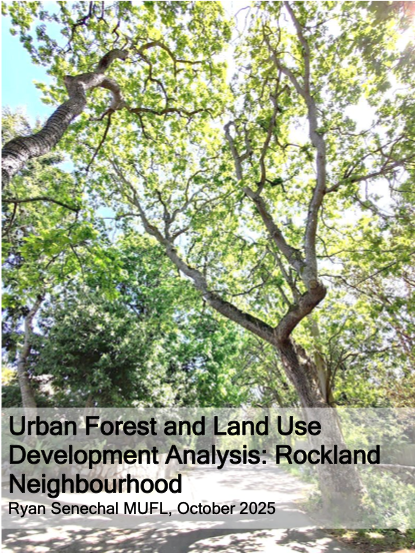
Urban Forest and Land Use Development Analysis: Rockland Neighbourhood Ryan Senechal MUFL, October 2025
AbstractThis report examines the relationship between urban forest canopy, land-use policy, and development pressures in the Rockland neighbourhood within the context of the City of Victoria’s 2025 Official Community Plan update and its 2050 urban forest canopy targets. Drawing on City datasets, LiDAR-based canopy analyses, tree inventory records, annual reports, and information obtained through Freedom Read more
-

City of Victoria – Official Community Plan 10-Year Update: Official Community Plan Bylaw, Zoning Bylaw 2018 and Zoning Regulation Bylaw Amendments
The Rockland Neighbourhood Association and the Garry Oak Meadow Preservation Society presented at the public hearing for the Official Community Plan Update on September 11, 2025. The hearing took place over the course of four hearing dates, with Mayor and Councillors voting 5 to 3 to approve the new blueprint for the City and its Read more
-
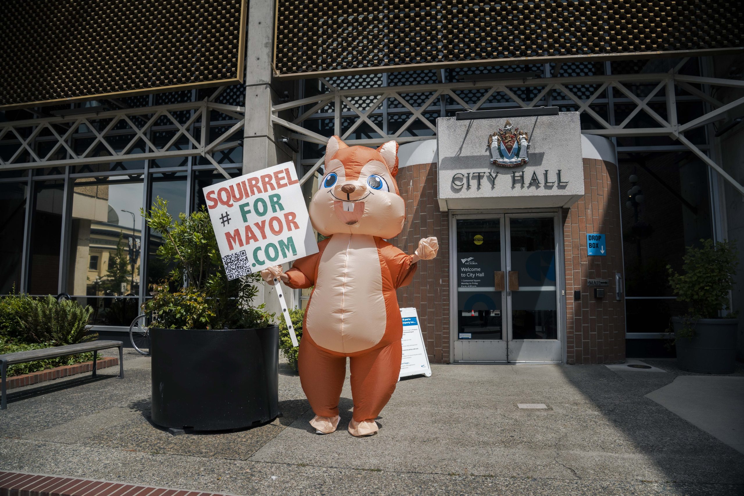
The Inconvenient Garry Oak Ecosystem: Distinguishing Native Trees from House Plants through Victoria’s Draft OCP.
By Squirrel for Mayor August 26, 2025 The urban area of the City of Victoria is the Garry oak (Quercus garryana) ecosystem (GOE) – a fact often left out of discussions on the urban forest. GOE or Kwetlal food system in lək̓ʷəŋən language, have been shaped by Indigenous agroecological management for thousands of years. It Read more
-
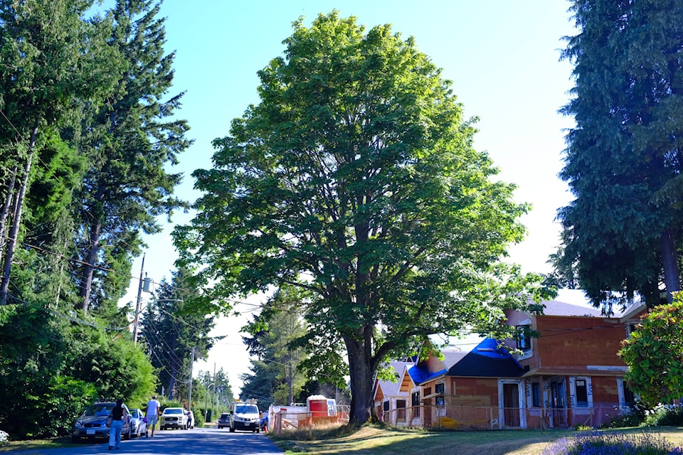
Neighbourhood saves a tree in Saanich
Times Colonist, Opinion. Letters July 30, 2025 At 5032 Wesley Rd. in Saanich stands an iconic, 100-year-old big leaf maple. Neighbours were surprised when a notice was hammered into the trunk of this tree by Saanich advising that within 10 days, the tree would be cut down to facilitate a developer’s connection to underground sewer Read more
-
Do Tree Protection Bylaws really “protect” the urban forest since the introduction of new housing regulations and legislation?
Tree Protection bylaws for the urban forest are municipal. Each municipality is slightly different, but they are all affected by provincial legislation. Citizens believe that these bylaws protect the urban forest. The word “protection” is in the name, so it’s a fair assumption, but it requires a deeper look. Let’s use the City of Victoria’s Read more
-
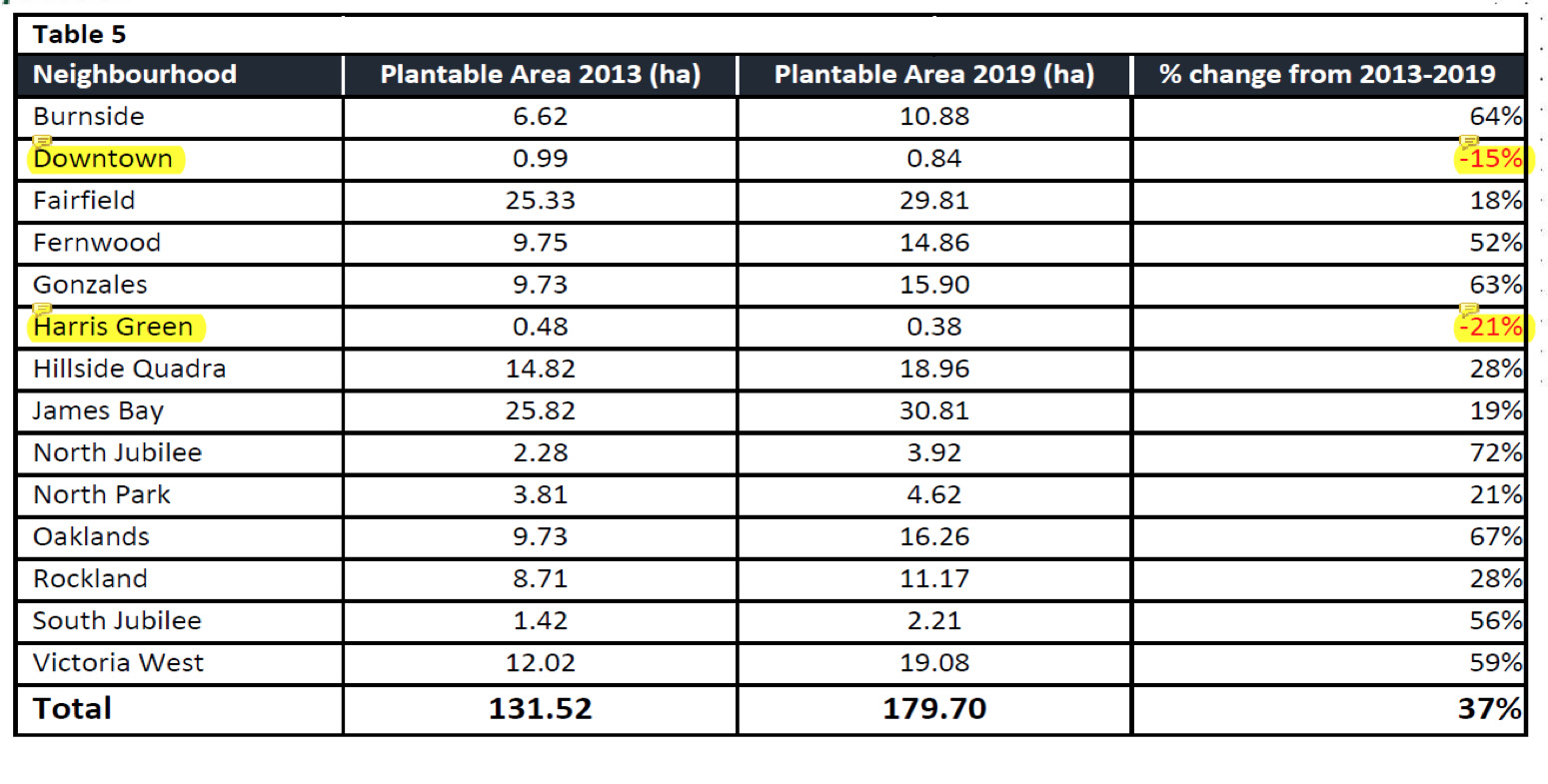
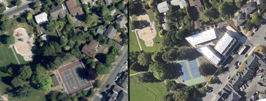
Why is Plantable Space an important metric
As a measurement, plantable space is the leading indicator of an sustainable urban forest, while overall tree canopy measurement is a lagging indicator. A loss of plantable space reduces the opportunity for canopy at the local level, meaning at the neighbourhood level. The benefits that the trees provide and protects the whole of a city for shade, stormwater and heat reduction through evaporation. Read more
-
Comment: Without more trees, B.C.’s next heat dome could be even deadlier
Re: “Without more trees, B.C.’s next heat dome could be even deadlier,” comment, July 2. Many thanks to Dr. Bethany Ricker, David Quigg, and Dr. Melissa Lem for pointing out in their op-ed the reality of extreme weather events despite advancements in building codes, as well as the now depleted funds to provide vulnerable households with Read more
-
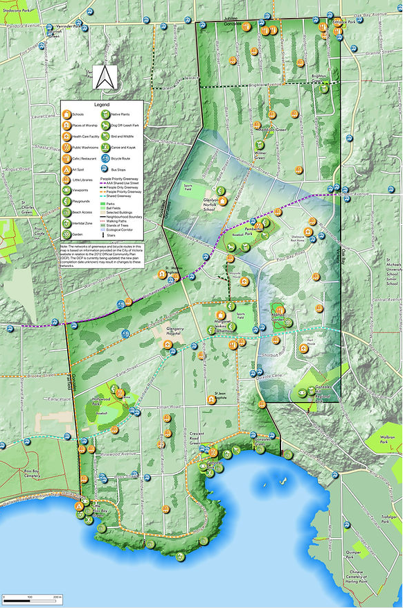
Gonzales Community Green Map
In 2018, the Gonzales Neighbourhood Association (GNA) initiated a community mapping exercise in cooperation with the University of Victoria – Geography Department. Seven years later, they are proud to announce that the Community Map is finished. The 2025 map includes a proposed migration corridor that links the ocean environment found at the Gonzales Observatory with the protected Read more