Category: Community Mapping
-
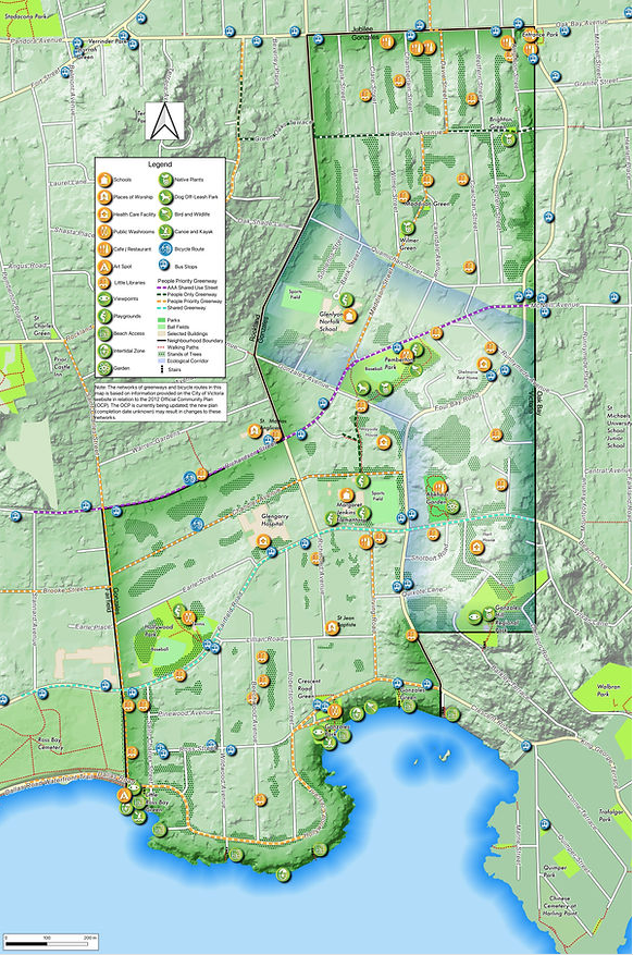
Gonzales Community Green Map
In 2018, the Gonzales Neighbourhood Association (GNA) initiated a community mapping exercise in cooperation with the University of Victoria – Geography Department. Seven years later, they are proud to announce that the Community Map is…
-
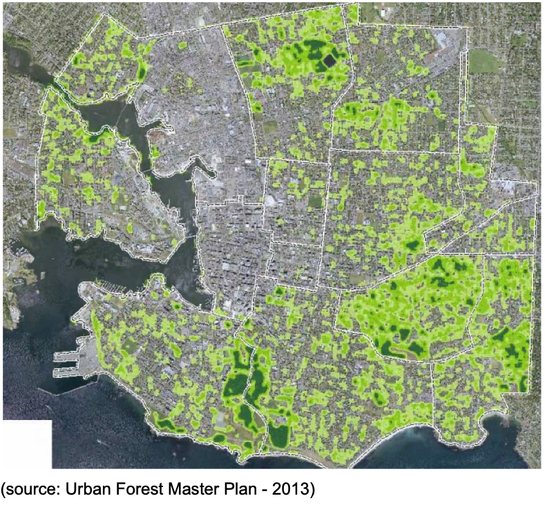
SENSITIVE ECOSYSTEM POLICY FOR GONZALES Neighbourhood.
(PROPOSED) June 4, 2019 The Gonzales neighbourhood contains the second highest remaining forest cover in Victoria (after Rockland). Gonzales also contains intact understory and sensitive ecosystems to support a range of birds and wildlife associated…
-
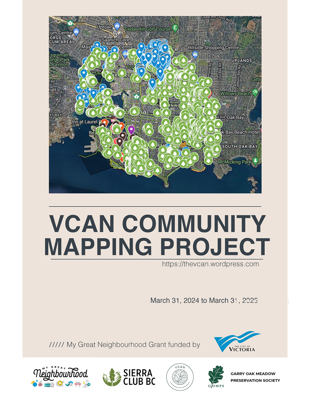
VCAN Community Mapping Project
A conversation about the distribution of biodiversity within and between the City of Victoria’s neighbourhoods. To complement the City’s excellent inventory of all trees on public land, the Victoria Community Association Network (VCAN) has involved…
-
Dear Developer: Invitation template
Document published through the VCAN Community Mapping Project (Appendix “Dear Developer: Invitation template”) The scale of land use changes in the City of Victoria created a discussion by the VCAN Mapping Team on how start…